Pricing

Choose the best software plan to suit your needs.

Gain access to comprehensive nationwide data and dynamic mapping tools backed by a team of trusted geospatial experts for location-smart business decisions.

Launch your site evaluation, acquisition, and development workflows.

Latapult GIS Software Free Trial

Packages are customizable to meet your needs. When you expand geographically and add plan users, you also save. All packages are available for individual users or teams of 3, 5, or 10 people. Need more than 10 users? Contact us to discuss your options!

Metros

$149/mo

+$49 for additional metros


Best for honing in on specific metropolitan areas.


  • Property, government, environment, and transportation datasets


Need access to five or more metros, or energy data layers? Consider our States Package to save.


Start Your Free Trial

States

$299/mo

+$199 for additional states


Best for searching statewide.


  • Property, government, environment, and transportation datasets
  • Energy data layers including electric lines, substations, service areas, and power plants
  • Large parcel ownership data (5+ acres layer)


Need access to five or more states? Consider our USA Package to save.

Start Your Free Trial

USA

$999/mo


Best for searching nationwide without regional limitations.


  • Property, government, environment, and transportation datasets
  • Energy data layers including electric lines, substations, service areas, and power plants
  • Large parcel ownership data (5+ acres layer)
  • Unlimited access to all our comprehensive data and mapping tools
Start Your Free Trial

Details About Latapult GIS Software

Latapult leaf icon

Tools and Features

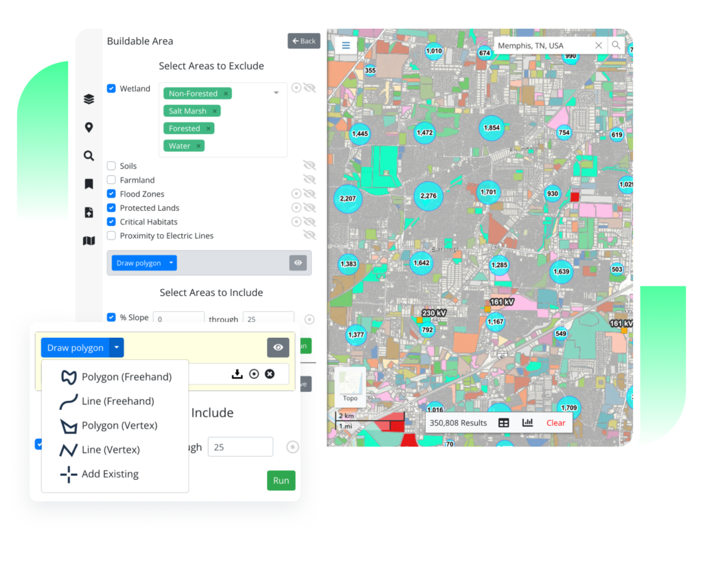
From interactive charts and custom graphics to buildable areas and data import tools, our scalable, easy-to-use features help clients evaluate, acquire, and develop sites all while speeding up operations.

Full List of Features
Latapult leaf icon

Datasets

Latapult provides data coverage of historic places, HUBZone, wind, elevation, wetlands, soils, points of interest, land zoning, census, traffic counts, roads, boundaries, flood zones, and more!

Full List of Datasets
Latapult leaf icon

Custom Layers and Project Tracking

If you need to import attribute-level data, level up project tracking, or integrate with other systems like a CRM, Latapult Custom is for you. Let us tailor our software to your organizational needs.

Discover Latapult Custom

FAQs

  • How often is Latapult’s property data updated?

    We update our parcel layers on a quarterly basis. Check out our Changelog for details.

  • How many people can access Latapult under one plan?

    Individuals can sign up for a Single User Metro, State, or USA package. Team packages are available for 3, 5, or 10 people. Have more than 10 users? No problem! Contact us, and we’d be happy to discuss your options!

  • What devices do Latapult work with?

    Latapult is a web-based GIS program available on any computer, smartphone, or tablet with internet access. No app download required!

  • Do I need to understand GIS software to use Latapult?

    Not at all! We built Latapult to make GIS technology accessible for all land stakeholders. If you have access to the internet, you can use Latapult anytime, anywhere.

  • What regions does Latapult cover?

    We have land data available across the entire United States! Check out our plans designed for popular metro areas, state, and national research to see which package works for you and your land mapping needs.

  • How can I access energy datasets?

    Our energy datasets are available at the state and USA subscription levels. Metro subscriptions do not include access to energy data.

  • How do I use other systems like CAD along with GIS?

    GIS was not designed to replace systems like CAD but can work alongside this technology to enhance the site design process. Through our import tool, clients can upload CAD site layouts to quickly visualize plans against dozens of Latapult layers for a fast, in-depth look at the surrounding environment.


  • What data is available with Latapult?

    In addition to property ownership, value, and sale data, Latapult provides access to national historic places, HUBZone data, wind data, elevations, wetlands, soils, points of interest, land zoning, census data, traffic counts, roads, municipal boundaries, flood hazard zones, large parcel layers, and much more!

  • What do land developers use Latapult for?

    Latapult is often used for managing the due diligence process for land development, land redevelopment, and land subdivision. But we understand that clients’ land mapping needs may vary, so we’ve designed Latapult to be scalable and adaptable to fit into almost any workflow.

  • What do solar developers use Latapult for?

    With data coverage for the entire USA, Latapult gives utility-scale and community renewable energy developers the ability to enter new markets while streamlining site evaluation workflows. With scalable features, clients can find and evaluate sites for solar farm suitability in seconds using Latapult’s customizable and easy-to-use GIS platform.

  • Why do AEC firms use Latapult?

    Latapult has due diligence layers and mapping tools that give firms the ability to speed up operations and build client relationships. Check out some of our GIS tools and features.